 |
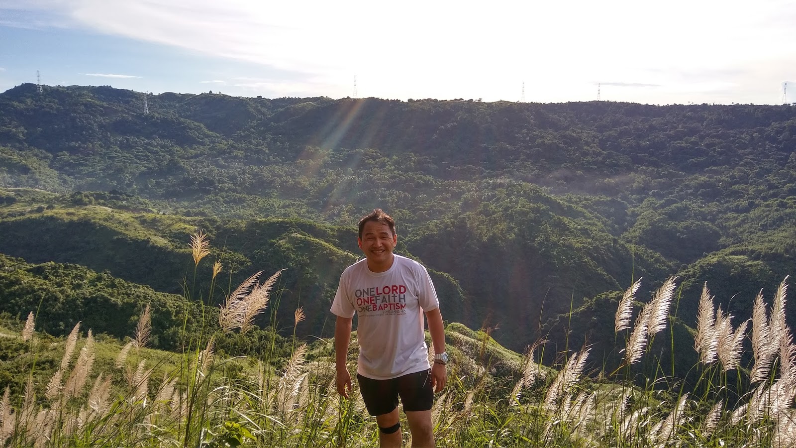
| Along the trail from left to right: Santy, Dave, Me, She, and Aries |
The mountain was once a place where the Dumagat (the local tribe in the area), used to fly kites. Travelers will surely be fascinated by the forested trail, limestone formation, grassy slope, cave exploration, and waterfalls integrated in the entire hike.
The Hike
We left Manila at 3:30 am and arrived in the Brgy. Hall of Cuyambay at 5:00. Guide fee is the usual minimum amount of 500 pesos and 30 pesos registration fee per head. Initially, we planned to include the Nagpatong Rock Formation in our itinerary; however, after the briefing, we decided to focus the hike to Mt. Paliparan and the falls. We will just go back to settle the unfinished business :P
The first part of the trail is composed of flat, muddy, and forested terrain.
 |
| A rice field |
 |
| Soy Plantation according to our guide |
 |
| Muddy trail |
 |
| The bridge before the assault |
Forested Part


Moving Up
 |
| Dave.... Statistician By Profession; Model By Passion |
 |
| A view near the "Tukduan" |
 |
| How can I go back??? |


Taguan/Cave


This small cave also called by the locals as "taguan" embodied formation of stalagmites and stalactites. A headlamp is needed to explore the area. The inside of the cave is cold; a perfect place to have a little rest before proceeding to the "view deck". We stayed there for 15 minutes.
 |
| Outside of the cave |
 |
| Going up up up |


 |
| A rock formation at the base camp |
We took some snacks in this area before heading on the summit.
 |
| a rope segment before the summit |
The Summit
 |
| Dave..... what are you doing? |
 |
| Aries... His third climb |


The Descent
The trail going to the community (Tuoy) is composed of grassland. The grasses are taller than us and there are existing beehives along the trail (one wrong move...).

 |
| We are on that mountain a while ago... |


A Stream


Community

This place is also known as Tuoy, one of the communities of the Dumagats. Their houses are mostly made of wood materials. Dogs, chickens, goats, and ducks are highly visible in the area. There is a place located under a mango tree where visitors are usually having a stop-over. The locals are selling coconut, 'biko", and rice meal at a reasonable price.
 |
| A view of the mountain from the community |
We did not proceed to the Tungtong falls due to an afternoon's rain. Seeing it at a distance from a different route, perhaps we will have a second time around. The trail from the community to the jump-off point is more on a stream crossing and grassland. This time, some of the grasses have sharp edges which might cause some cuts.


Brgy. Hall

Itinerary
3:30 AM ETD Manila to Tanay
5:00 AM ETA Brgy. Cuyambay, Tanay Rizal
5:30 AM Start Hike
7:40 AM ETA Cave
8:20 AM ETA View Deck
10:00 AM Summit
10:30 AM Descent
12:00 PM ETA Community (Lunch Break/Rest/Socials with the locals)
1:30 PM ETD Community to Brgy. Hall (We skipped Tungtong Falls)
3:30 PM Brgy. Hall (Wash up)
4:00 PM ETD Tanay to Manila
6:00 PM Home Sweet Home
Safe budget for a group of 5: More or less 500 pesos
Going there through a public transportation:
1. Take any PUV in Cubao (Famers Area) or Ligaya (near Robinson Metroeast and Sta Lucia) going to Cogeo (Gate 2). 2. From gate 2 there is a terminal of jeepneys going to Sampaloc (usually they are leaving at 5 in the morning or until meeting the ideal number of passengers). Tell the driver to drop you at Brgy. Cuyambay.
Note:
a. This is the same route going to Maynoba Circuit (Mt. Maynoba and Mt. Cayabu); Mt. Batolusong and Mt. Susong Dalaga. You only need to be drop at Batangasan instead of Cuyambay where there are available tricycles which can take you to the jump off point of those mountains.
b. The water source which is available near the stream may become undrinkable in case of rain. The water coming out from the pipeline become unclear and contains some soil residue.
c. Unlike other nearby mountains, the chance of witnessing a sea of clouds in Paliparan is remote.
Photo Credit: Santi Cabangon and Sherryl Joy Malatuba
End
- JSC
No comments:
Post a Comment