Showing posts with label Climb. Show all posts

Monday, August 29, 2016

Maynoba Circuit and The Waterfalls (Into The Rain) // August 29, 2016


Before the holiday, we searched for a place in Tanay that has a culmination of water activities.  We found the Maynoba Circuit in Brgy Cayabu, which is gaining popularity for its sea of clouds and a series of waterfalls.  

The trail to the summit is fairly easy; however, difficulty may arise during the rainy season.  In clear weathers, views of nearby mountains can be seen on top.  

Into the rain.  Yes! From the title itself, it was a rock and roll experience.  It rained the night before our hike.  The entire trail became muddy and very slippery, particularly on the steep parts.  We encountered another one by the time we reached the first waterfalls.  


The Hike

We decided to leave Manila at 2:30 in the morning, hoping to witness a sea of clouds.  We reached Marning's Farm at 5:00 and commenced the hike at 5:30.


Group picture before the hike (left to right): She, Dave, Me, CJ, Aries (a new companion), and Santy
Some Pictures Taken


Muddy Trail Going Up........ It will pull you back!!!
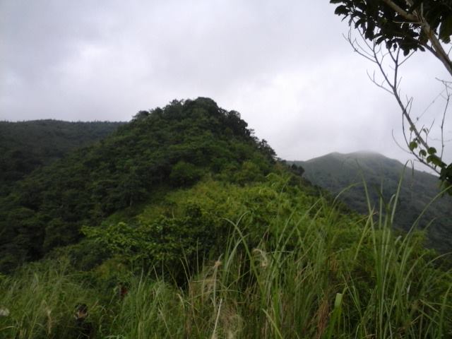
Mt. Cayabu
At Mt. Cayabu Peak
We arrived at the summit of Cayabu at 7 am.  It is a shady summit due to the large volume of a canopy.  

Going Down
At the campsite

We hoped for a sea of clouds but, it turned out to be a cloudy day.  The surroundings still have a lot to offer.  

CJ what are you looking? hmmm


Dave while Sliding on the muddy trail                                                                                             Dave....Picture Picture........     


At the Summit
A boulder near the last campsite
According to our guide, the last campsite has a higher elevation than the summit of Maynoba.


Water Source before the series of waterfalls

 It was already starting to rain by the time we arrived at the first waterfalls.  The water flowing on the succeeding falls are coming here.  This is the best place for swimming since it has the clearest water.


A trail surrounded by bamboos
Some of the other falls


The last falls
We went back at the jump off at 2:00 PM.  Though we did not witness the sea of clouds, it was still a great climb.
Itinerary

2:30 am: ETD Manila to Tanay
5:00 am ETA Brgy. Cayabu (Marning Farm)
5:30 am: Start of Hike
7:00 am Cayabu Peak (picture taking)
7:10 am start descent to maynoba
8:15 am campsite
8:45 am ETA Maynoba Summit
10:30 am start of waterfalls series 
1:00 pm: ETD last waterfalls to Brgy hall
2:00 ETA brgy hall (Wash up)
2:30 pm ETD to Manila
5:00 pm ETA Manila (home)

Safe Budget for a Group of 6:

Major Expenses: 700 to 1000 pesos per head

Guide Fee: 500 pesos (Good for 5 pax) 
Registration Fee: 100 pesos per head (updated)
Parking Fee: 50 pesos per car
Transportation: 200 to 300 pesos per head
Foods and Drinks: 200 per head

Going there through a public Transportation:

1. Take any PUV in Cubao (Famers Area) or Ligaya (near Robinson Metroeast and Sta Lucia) going to Cogeo (Gate 2).  (Fare of jeepney is 24 pesos from Cubao to Cogeo)
2. From gate 2 there is a terminal of jeepneys going to Sampaloc (usually they are leaving at 5 in the morning or until meeting the ideal number of passengers).  Tell the driver to drop you at Batangasan (Fare is 42 pesos)

3. From Batangasan, there are tricycles which can take you to Marning's Farm (Fare is 100 pesos maximum of 4 persons)

Note: 
a. This is the same route going to Brgy. San Andres (jump off of Mt. Batolusong and Susong Dalaga) and Brgy. Cuyambay (Jump off of Mt. Paliparan, Maysawa Circuit, and Nagpatong Rock Formation).  

b. Hire a private vehicle to catch up the sea of clouds in Mt. Maynoba.  2 AM is the ideal time.
c. There are available stores at the jump off selling foods and souvenir items (prices of goods are below 100 pesos). 

Photo Credit: Santi Cabangon and Sherryl Joy Malatuba


Sunday, June 12, 2016

Mt. Maculot and The Rockies (Independence Day Hike)

View from one of the resting station
Last June 12, 2016, CJ, Santy, and I had our independence day climb at Mt. Maculot, located in Cuenca, Batangas.  This mountain is said to be an ideal training ground for beginners.  Some of the main attractions of the place are the "Rockies", the main site where hikers can witness stunning rock formation; a scenic view of Taal Lake; forested trails with rope segments; a grotto which can be seen if one opted to do the traverse hike (which we did); and more.

We left Manila at 3:15 am going to Cuenca.  Santy has a car so we did not have a transportation issue.  He is guided by a GPS in all of our climbs.   We arrived at the Brgy. hall at 5:15.  Securing a guide is mandatory at a ratio of 5:1.  There is also a registration fee of 20 pesos per person.  We commenced our hike at 5:45 am.

Santy, CJ, and I before the climb.  Outside the Brgy. hall
The path towards the mountain


The trail has several assaults and can be slippery when becoming wet.  Most of the time, there are stations after each assault where one can take some rest.

A guide dog?
We met this dog from the start of the trail and followed us up in one of the stations where he joined another group of hikers after we had a quick rest.  We encountered him once again in the Rockies.

At one of the station

The Rockies at the other side

Group picture before the assault
Santy..... doing a victory pose???
It was s steep assault.  There are some sharp and unstable rocks existing along the trail.  Most parts of the Rockies are in open field, making it more exhausting during sunny days.

Some Photo Ops

At a famous photo site
CJ what are you doing?

Having a dare-devil pose
We had our descent at 9:30 am, after staying for 1.5 hours in the Rockies.  It is estimated that the summit is still 1 hour away from the Rockies.

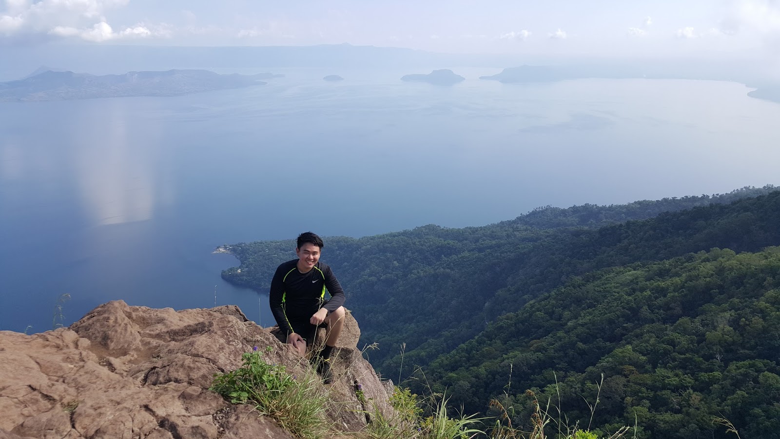
A view of taal lake

According to our tour guide, they are calling this fruit as "Tibig".  He said that the fruit is not edible, but, when I searched it on the internet, I learned that the fruit is edible when ripe.  It is also known as "Ficus Nota".  The fruit and the tree have many uses.


We encountered this worm-like creature along the way.


At the Summit


There was no clearing when we reached the summit.  It was a sea of fogs due to an upcoming rain.


The Descent


The part of the descent that I found very thrilling was the rappelling.  Since it already rained before we reached this point, the rocks became slippery that made it more difficult.

Grotto

The last part of the traverse is the grotto, a pilgrimage site.  There, can be seen a mini statue of Mary, 2 white crosses, and fiesta with the landscape of the mountain in the background.

View from the grotto
Panoramic View
There are available tricycles at the end of the trail.  Since another rain was approaching that time, we decided to take the ride going to Brgy. hall.  We had our wash up at 1:40 and left at 2:00 pm

Side Trips 

Since there was still time and we have a car, we visited some of the landmarks in Batangas.

Basilica of St. Martin of Tours
This is the Minor Basilica of St. Martin of Tour located in Lipa, Batangas named after the patron saint of Taal.


The inside of the church
Apacible's Museum
We visited the ancestral house of Galiciano Apacible, one of the co-founders of La Solidaridad during the Spaniard Era.

Around the museum


The living room


Some of their Kitchenware 
We left Batangas at 5:00 pm and arrived in Manila at 7:30 pm.  Happy Independence!!!

Photo Credit: Santiago Cabangon

Actual Itinerary


Guide Rate as of June 12, 2016


The safe budget for a group of 3: 800 to 1000 pesos

For a commute trip, take a bus located in Buendia or Cubao bound to Lemery, drop off point is at Cuenca Batangas.  There is available tricycle which can take you to the jump off.  

End

- JSC