Sunday, June 12, 2016

Mt. Maculot and The Rockies (Independence Day Hike)

View from one of the resting station
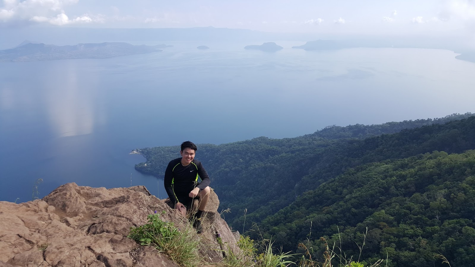
Last June 12, 2016, CJ, Santy, and I had our independence day climb at Mt. Maculot, located in Cuenca, Batangas.  This mountain is said to be an ideal training ground for beginners.  Some of the main attractions of the place are the "Rockies", the main site where hikers can witness stunning rock formation; a scenic view of Taal Lake; forested trails with rope segments; a grotto which can be seen if one opted to do the traverse hike (which we did); and more.

We left Manila at 3:15 am going to Cuenca.  Santy has a car so we did not have a transportation issue.  He is guided by a GPS in all of our climbs.   We arrived at the Brgy. hall at 5:15.  Securing a guide is mandatory at a ratio of 5:1.  There is also a registration fee of 20 pesos per person.  We commenced our hike at 5:45 am.

Santy, CJ, and I before the climb.  Outside the Brgy. hall
The path towards the mountain


The trail has several assaults and can be slippery when becoming wet.  Most of the time, there are stations after each assault where one can take some rest.

A guide dog?
We met this dog from the start of the trail and followed us up in one of the stations where he joined another group of hikers after we had a quick rest.  We encountered him once again in the Rockies.

At one of the station

The Rockies at the other side

Group picture before the assault
Santy..... doing a victory pose???
It was s steep assault.  There are some sharp and unstable rocks existing along the trail.  Most parts of the Rockies are in open field, making it more exhausting during sunny days.

Some Photo Ops

At a famous photo site
CJ what are you doing?

Having a dare-devil pose
We had our descent at 9:30 am, after staying for 1.5 hours in the Rockies.  It is estimated that the summit is still 1 hour away from the Rockies.

A view of taal lake

According to our tour guide, they are calling this fruit as "Tibig".  He said that the fruit is not edible, but, when I searched it on the internet, I learned that the fruit is edible when ripe.  It is also known as "Ficus Nota".  The fruit and the tree have many uses.


We encountered this worm-like creature along the way.


At the Summit


There was no clearing when we reached the summit.  It was a sea of fogs due to an upcoming rain.


The Descent


The part of the descent that I found very thrilling was the rappelling.  Since it already rained before we reached this point, the rocks became slippery that made it more difficult.

Grotto

The last part of the traverse is the grotto, a pilgrimage site.  There, can be seen a mini statue of Mary, 2 white crosses, and fiesta with the landscape of the mountain in the background.

View from the grotto
Panoramic View
There are available tricycles at the end of the trail.  Since another rain was approaching that time, we decided to take the ride going to Brgy. hall.  We had our wash up at 1:40 and left at 2:00 pm

Side Trips 

Since there was still time and we have a car, we visited some of the landmarks in Batangas.

Basilica of St. Martin of Tours
This is the Minor Basilica of St. Martin of Tour located in Lipa, Batangas named after the patron saint of Taal.


The inside of the church
Apacible's Museum
We visited the ancestral house of Galiciano Apacible, one of the co-founders of La Solidaridad during the Spaniard Era.

Around the museum


The living room


Some of their Kitchenware 
We left Batangas at 5:00 pm and arrived in Manila at 7:30 pm.  Happy Independence!!!

Photo Credit: Santiago Cabangon

Actual Itinerary


Guide Rate as of June 12, 2016


The safe budget for a group of 3: 800 to 1000 pesos

For a commute trip, take a bus located in Buendia or Cubao bound to Lemery, drop off point is at Cuenca Batangas.  There is available tricycle which can take you to the jump off.  

End

- JSC

Saturday, May 21, 2016

Mt. Pamitinan - Mt. Binacayan Twin Hike // May 21, 2016

Have you heard of the legendary Bernardo Carpio in Philippine's mythology? a man who was gifted by God with extraordinary strength.  At the end of the tale, he was squeezed and trapped in two colliding boulders levitated by nature's spirit.  People believed that those giant rocks are now known mountains of Rizal, and parts of the Pamitinan Protected Landscape by virtue of Presidential Proclamation no. 901 that took effect on October 10, 1996.  

Usually made as twin hike, or sometimes a trilogy climb (including Hapunang Banoi),  Mt. Pamitinan and Mt. Binacayan have several splendid sites to explore.  It is located in Brgy Wawa, Rodriguez, Rizal.  


Welcoming Arc
The Hike

There is an environmental fee of 50 pesos per person at the DENR station and donation of any amount at the Barangay Hall.  The hiring of tour guide is mandatory.  The minimum rate is 500 pesos for a single climb, and incremental cost (any amount) shall be added if a group decided to go on twin or trilogy hike.  Our guide was Kuya Ogie.  We commenced the hike at 5:30 am.  
Mt. Binacayan

Kuya Ogie suggested that we begin at Mt. Binacayan since it is more challenging.  Most parts of the trail are fully exposed to sunlight, making it more exhausting to climb during the afternoon.  The first part of the trail is composed of soft soils which may become muddy and very slippery during the rainy season; followed by steep assaults in the limestone formation.  We did a traverse hike.

Photos taken


Santy, me, and CJ

Climbing up...... 

A view from Mt. Binacayan
Sea of clouds...
 Mt. Binacayan is well-known for having an existence of a sea of clouds.  Unfortunately, we did not witness a lot during our hike since we started late.  Kuya Ogie said that in order to have a glimpse of the best view, hikers must begin the climb at 4 am.  


CJ and Santy at a popular picture site
Am I holding the sun?

Kuya Ogie leading the way....... are we there yet? 
At the summit....... Wawa River at the background
We reached the summit of Mt. Binacayan at 7:40 am.  We took some photo ops before descending.  


What I am doing here? how will I go back?!

Bernardo Carpio...... Is that you? so the legend is real? :P
Some photos going down (Traverse)


Sitting on a marble? They are cold... and very sharp
We reached the jump off (Brgy. Hall) at 10:20 and had our lunch.  There are available stores selling foods at reasonable prices.  We started our ascent to Mt. Pamitinan at 12 noon.

Mt. Pamitinan

Both mountains have the same features.  The trail of Pamitinan begins after crossing a hanging bridge.  The first part of the trail from the hanging bridge up to the "junction" consist of light assaults.  It is more about endurance.  The last part beginning from the junction up to the summit comprised of rock climbing and bamboo forest. 

The hanging Bridge
A part of Wawa River

An old Balete tree.   How old is it???
going up near the junction
The junction is the splitting point of the trails to Mt. Pamitinan and Mt. Hapunang Banoi.  The way to Mt. Pamitinan is located at the right side while Hapunang Banoi is at the left.  


Bamboo Forest
Peak 1
The mountain has 2 peaks.  The 2nd peak is more challenging and has a rope segment.  Unsuccessful assault!  I will make a comeback soon.


CJ climbing the peak 1
The modern Bernardo Carpio
Santy and CJ on Peak 2
My photo op at the base of peak 2 
Group shot before the descent...... Mt. Binacayan at the background
We stayed on the summit for almost an hour and descended at 3:45 pm.  My legs were already cramping by the time we reach the jump off.  These were my 2nd and 3rd hike.  I thought before that climbing mountains are just walk in a park similar to my first hike (Mt. Pinatubo).   It was a mistake!  I suffered strain for a week; but overall, it was a fun and memorable climb.

Note:

1. I highly recommend Kuya Ogie to be the tour guide (Contact no: 09473868778.  He has good skill in photography and knows the best places to take shots.
2. Bring gloves.  I acquired some cuts from the sharp edges of the limestone. Some Bamboos have spines.
3. The climb was truly exhausting, particularly during summer.  There is no water source on the entire trail (bring 3 to 4 liters of water).
4. There are parking spaces near the Brgy. Hall for private vehicles.

Going there through a public transportation

1. Take any PUV in Cubao (Farmers Area) or Ligaya (near Robinson Metroeast and Sta Lucia) going to Montalban.  Ask the driver to drop you in Eastwood.

2. From Eastwood there are available tricycle which can bring you to Brgy. Wawa.  (60 pesos maximum of 6 passengers).
Actual Itinerary Itinerary

3:30 AM: ETD Manila to Rodriguez Rizal
4:30 AM: ETA DENR Office (Registration (50 pesos) and meet up with the guide)
5:30 AM: Start hike to Mt. Binacayan 
7:40 AM: ETA Mt. Binacayan Summit (photo ops)
8:25 AM: Descent
10:20 AM: Arrival at the Jump off and lunch time
12:00 PM: Start ascent to Mt. Pamitinan
2:20 PM reach summit 1 (picture taking)
2:40 PM: reached summit 2 (picture taking) 
3:45 PM: Descent
5:10 PM: Arrival at the Brgy. Hall (Wash up 25 pesos)
5:30 PM: ETD Rodrigeuz to Manila
7:00 AM ETA Manila (Home Sweet Home)


Overall estimated cost for the twin hike (group of 3): 500 to 600 pesos

Photo Credit: Santi Cabangon and CJ Caldo
End
- JSC